Uvero Alto from Riviera Bay: where the resort coast thins out
Uvero Alto is the stretch of shore where the Punta Cana coast runs out of resorts and turns towards the Miches countryside. From Riviera Bay at Cana Bay it is about 10 miles by road, past Macao, close enough for an afternoon and far enough to feel like a different coast. This guide measures the drive, explains the planning rules that make the north end look the way it does, covers the road work on the way, and says what an owner or a guest actually finds at the end of it.
How far is Uvero Alto from Riviera Bay?
Measured on open map data from Riviera Bay's map pin, the locality of Uvero Alto is about 10 miles by road and about 8 miles in a straight line. The route leaves Cana Bay onto the Bulevar Turístico del Este, runs north past the turning for Macao, about 6 miles from Riviera Bay, and continues on the Miches road before a local road drops to the shore. We give no drive time: the routing model assumes empty roads, and part of the way is under construction.
Uvero Alto is not a single point. The name covers a long, thinly built shore, so the first hotel entrance comes well before the last, and the measured figure is to the locality as mapped, not to any particular beach access. Bávaro Beach, by comparison, is about 5 minutes from Riviera Bay by car.
Why does the coast look emptier as you drive north?
Part of the answer is a rulebook. In September 2005 the tourism ministry issued Resolution 154/2005, which sets building densities for the whole tourist coast from Uvero Alto down to the Punta Cana airport and asks that projects be built without compromising the landscape. It divides the shore between the Bulevar and the ocean into stretches between named headlands, each with its own ceiling, and the northern stretch gets the lowest: about 10 rooms per acre from Uvero Alto to Punta Macao, against about 28 on the stretch south of Punta El Cortecito. Inland of the Bulevar the ceiling rises to about 30.
The same resolution keeps buildings to between 2 and 4 levels above natural ground, depending on location. So the open look of Uvero Alto is not only a matter of time and distance from the airport; it was written into the planning of the coast twenty years ago. Whether that text has since been amended for a particular parcel was not checked, so any parcel question belongs with an attorney or the district council.
| Stretch of shore | Ceiling, rooms per acre |
|---|---|
| Uvero Alto to Punta Macao | About 10 |
| Punta Macao to Punta Arena Gorda | About 12 |
| Punta Arena Gorda to Punta El Cortecito | About 16 |
| Punta El Cortecito to Punta de Los Nidos | About 28 |
| Punta de Los Nidos to the airport | About 12 |
| Inland of the Bulevar, for comparison | About 30 |
Which road leads to Uvero Alto, and what is changing on it?
Two pieces of road matter. The first is the Bávaro–Uvero Alto–Miches highway, about 45 miles long, which the national government opened in January 2015 as part of the eastern road corridor; at its opening it was said to benefit 11 communities along its route. It links Uvero Alto south to Bávaro and north to Miches, which is why the north end no longer feels like a dead end.
The second is the section between Macao and Uvero Alto, about 8 miles, which the state toll-road trust announced in October 2025 it would widen from two lanes to four, paid for from national toll revenue. At the end of June 2026 the public works ministry was reported to be pressing ahead with it. No completion date and no estimate of time saved has been published, so plan the drive around road works for now, and read the project as a sign of where traffic is expected to go.
- September 2005 The coast's density rules Resolution 154/2005 sets the lowest ceiling on this coast for the shore from Uvero Alto to Punta Macao.
- January 2015 The road to Miches opens The Bávaro–Uvero Alto–Miches highway, about 45 miles long, is inaugurated.
- October 2025 Widening announced The toll-road trust plans to take about 8 miles between Macao and Uvero Alto from two lanes to four.
- June 2026 Works under way The public works ministry is reported to be advancing the widening; no completion date is published.
What will you find at Uvero Alto?
A different beach from the one near Cana Bay. A long-running Punta Cana travel resource describes the sand at Uvero Alto as more golden and the water as less turquoise than further south, with a sea that can run rougher on some days, and the beaches as far less frequented. It notes very little to eat directly on the sand, lists no beach club there, and says public transport reaches the area only with difficulty, so most people arrive by taxi or rental car. A few working ranches sit behind the shore, and riding horses on the beach is what visitors associate with the place.
So bring what you need for the day, water and shade included, and treat lunch as something to plan rather than find. The hotels along this shore keep their facilities for their guests, while the beach itself, like every beach in the country, is public.
What lies beyond Uvero Alto?
The countryside of the north-east coast. Past Uvero Alto the highway leaves La Altagracia's resort belt and runs on towards Miches, in El Seibo province, about 48 miles from Riviera Bay by road. On that side lies the Lagunas Redonda y Limón wildlife refuge, two lagoons ringed by mangroves and cattail meadows, which the environment ministry's figures, as reported by the national press, show received 62,874 visitors in November 2025, against 3,225 in November 2024.
That is a full-day trip rather than an afternoon, and the figures are for single months, not years. They do show that the coast north of Uvero Alto is starting to draw visitors of its own, along the same road that is now being widened.
What does Uvero Alto mean for an owner at Riviera Bay?
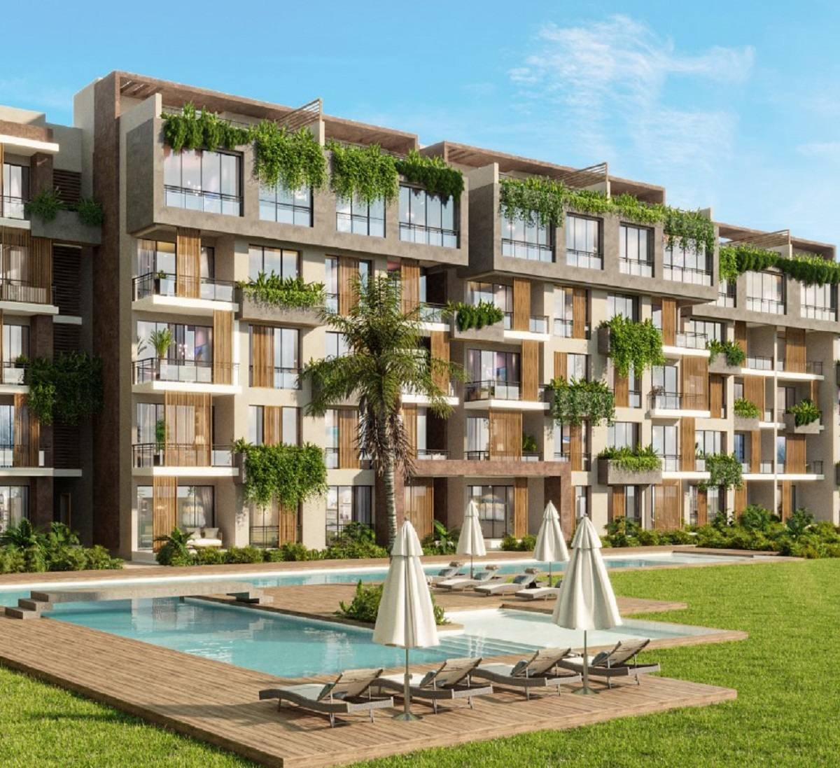
A quiet coast within reach, not the address. Riviera Bay is a pre-construction development of 110 residences inside the Hard Rock Golf Club community at Cana Bay, with 2 pools, rooftop terraces and the golf course on site, Bávaro Beach about 5 minutes away by car and the airport about 20, priced from $210,000. That puts it nearer the busy, serviced middle of the coast, with Uvero Alto about 10 miles to the north for the days when an empty beach is the point.
For an owner who rents, Uvero Alto is worth describing honestly to guests: a long, open beach a short drive up the coast, with little on the sand, a road still under works and no bus to speak of. Guests who know that before they set out tend to enjoy it; guests expecting Bávaro with fewer people may not.
Common questions
- How far is Uvero Alto from Riviera Bay?
- About 10 miles by road and about 8 miles in a straight line, measured on open map data from Riviera Bay's map pin at Cana Bay. The route runs north on the Bulevar Turístico del Este past the Macao turning.
- Why is Uvero Alto less built up than Bávaro?
- Partly because of Resolution 154/2005, which gave the shore from Uvero Alto to Punta Macao the lowest density ceiling on this coast, about 10 rooms per acre, against about 28 on the stretch south of Punta El Cortecito.
- Is the road to Uvero Alto being improved?
- Yes. About 8 miles between Macao and Uvero Alto is being widened from two lanes to four, announced in October 2025 and reported under way in June 2026. No completion date has been published.
- Is there food on the beach at Uvero Alto?
- Very little, according to a long-running Punta Cana travel resource, which also lists no beach club there. Bring water and shade, and plan lunch in advance.
- Can you drive from Uvero Alto to Miches?
- Yes. The Bávaro–Uvero Alto–Miches highway, about 45 miles long, opened in January 2015. Miches is about 48 miles from Riviera Bay by road.
Want the details for your own situation?
Ask about availability, layouts or the buying process, and someone from the sales team will get back to you.
Get in touch